Visit us

Ways to visit Freeman's Wood

By foot

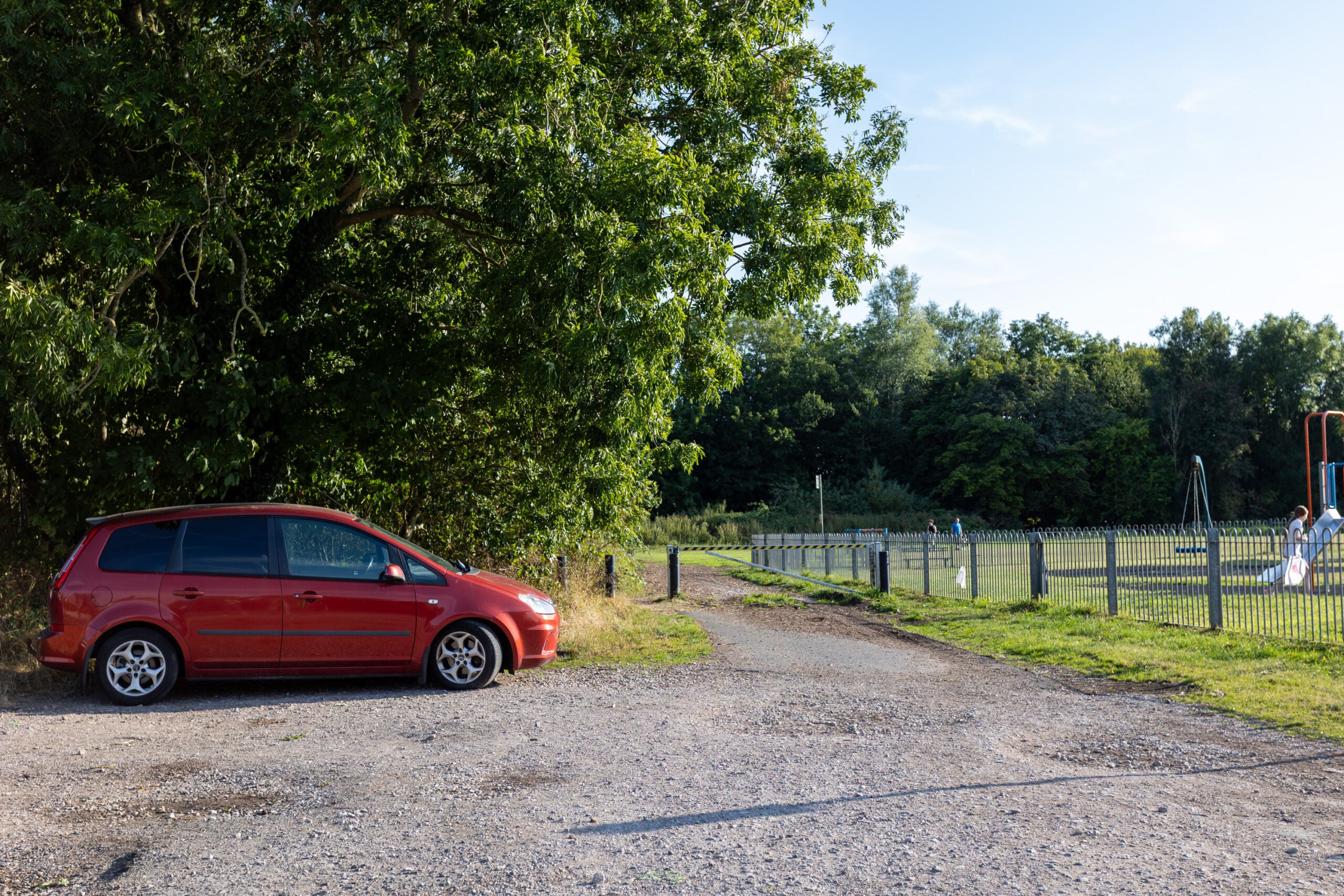
Check the map below for entrances from Willow Lane (past the playground) and the end of New Quay Road.

By bus

The closest bus stop is Denmark Street, served by Stagecoach service 11.

By bike

There is a bike rack available at…

By car

There is on-street parking around Willow Lane, though we’d encourage a more eco-friendly way to reach us if you can!

Interactive map

Click the symbol to view the map in full screen.

Tap the symbol to view the map in the Google Maps app.

Accessible path

Marked yellow on the map.

Fully accessible path surfaced with crushed stone, accessible for mobility scooters. 180cm wide.

Unsurfaced paths

Marked red on the map.

Unsurfaced trails and desire paths, some of which may be undulating, with some low-hanging branches through the wood. 

Entry points

Entry points from Willow Lane (past the playground) and the end of New Quay Road.