
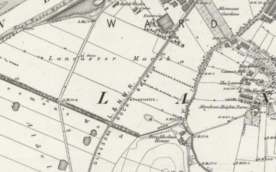
The Lancaster to Glasson Dock railway ran through Freeman’s Wood. We can see the line of the railway from the map below, a map that was surveyed in 1891. There were three local routes out of Lancaster station: the current one over Carlisle Bridge; one north along the river, past what is now Sainsbury’s with a station at Green Ayre – then on through Halton and Caton; the third line went through Williamson’s factory and Freeman’s Wood on its way to Glasson Dock.
The railway opened in 1883. It provided both a freight and a passenger service.
Initially, there were only three stations: Lancaster and Glasson Dock and a private station at Ashton Hall (see below). However, a station was added later at Conder Green (now adjacent to the car park).
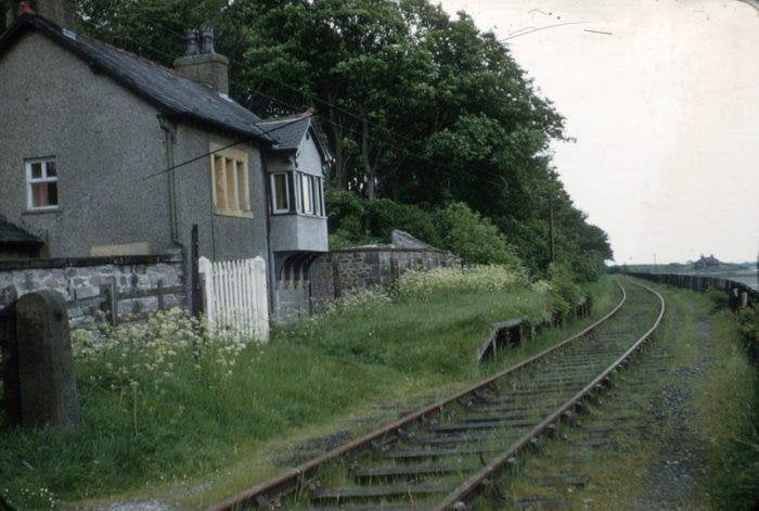
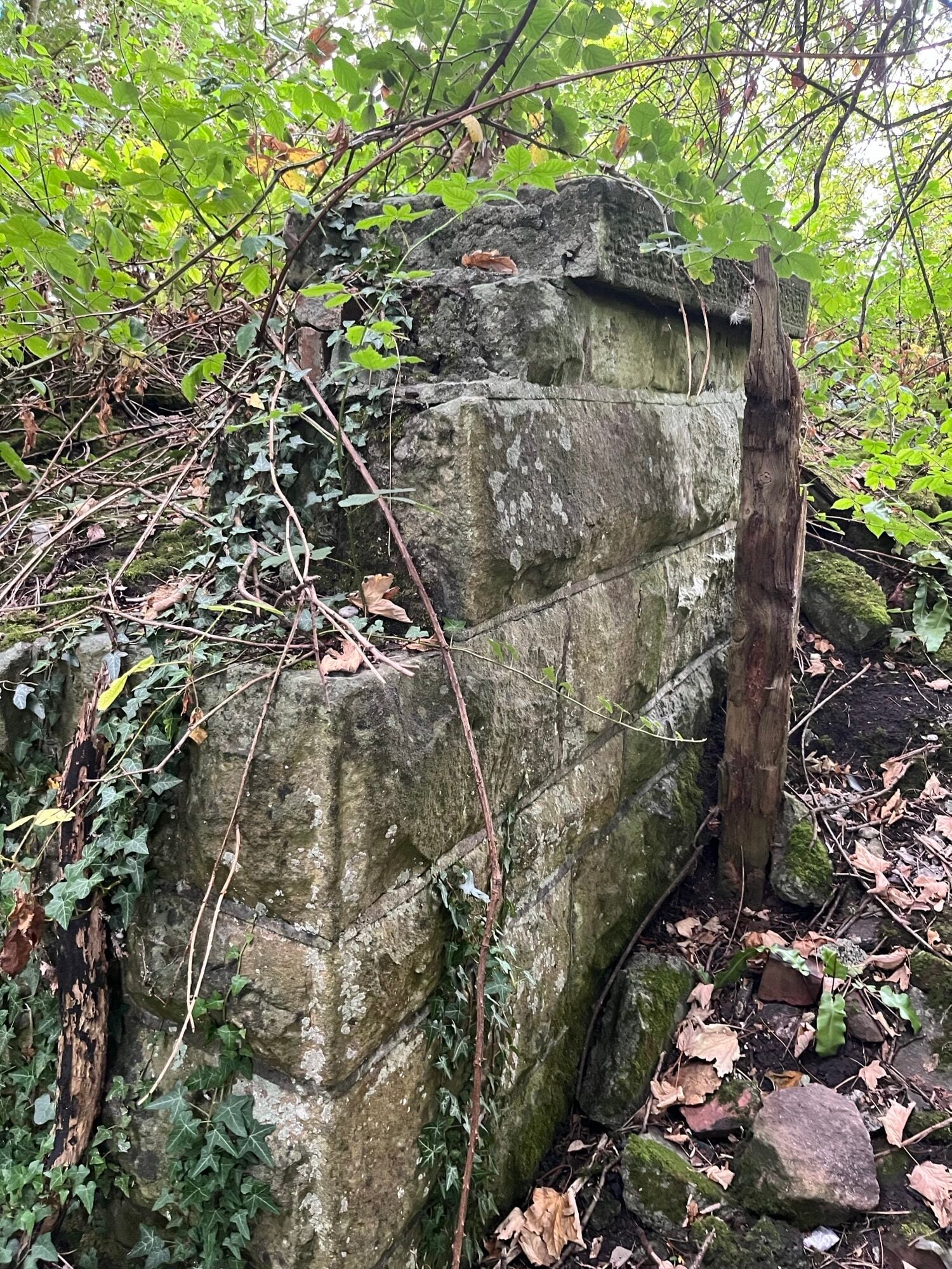
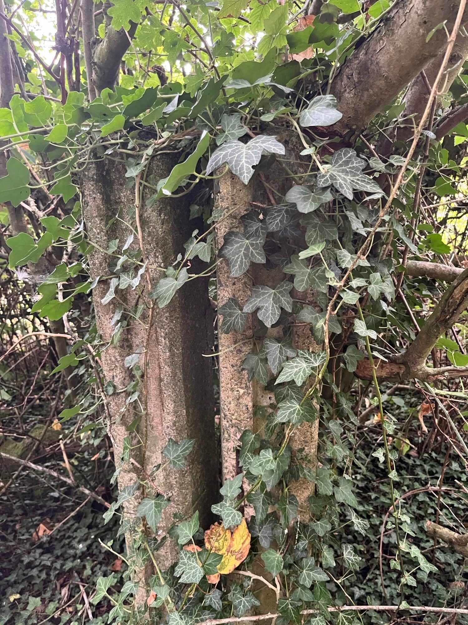
There were five level crossings, including one over the river footpath at Freeman’s Wood. You can still see what looks like infrastructure associated with the level crossing on the footpath. If you walk up the path from Coronation Field and the crossing of Lucy Brook, the path bends slightly to the right. After this, on your left you can see two sets of concrete posts – presumably from the crossing (see picture below). Near this spot, but a few yards inside Freeman’s Wood there is the remains of a concrete structure. I’ve no idea what this was, but presumably something to do with the railway and the crossing.
There were three passenger services a day from Lancaster and four from Glasson Dock. The journey took ten minutes. K Nuttall and T Rawlings (Railways around Lancaster) describe one unfortunate incident when the driver and guard arrived at Lancaster station, only to realise that they had left the passenger carriages behind at Glasson!
The line was generally not a great success. As a result, the last passenger train was on July 6th 1930. The freight service between Freeman’s Wood and Glasson Dock stopped in September 1964. However, the “industry section”, Quay to Freeman’s Wood, carried on until 1969. In June 1964, prior to the September closure, a train carrying railway enthusiasts did the journey for the last time.
When ‘on the ground’, it is difficult to gauge the actual line of the railway (see map) through the Freeman’s Wood land. However, if you take the footpath from the back of Coronation Field through to the open field in Freeman’s Wood, you will see a line of old concrete fence posts to your left, marking the boundary of the historical ‘sports and social club’ within Freeman’s Wood. The railway line ran at right angles to your path, about 30 yards closer to Coronation Field than these posts. It then crossed the river footpath and ran across what are now fields. It then intersected with the cycle path where the cycle path splits into two. The upper path – now quite narrow – is where the railway went. After crossing Aldcliffe Hall Lane (formerly called Railway Crossing Lane), the track followed the line of the current cycle path past Ashton Hall, Condor Green and Glasson Dock.
For more information you can read:
Railways Around Lancaster by K Nuttall and T Rawlings–Dalesman Books | eBay UK
Lancaster’s Line to the Sea Glasson Branch Dave Richardson | Branchstow Books
Glasson Dock branch line – Wikipedia
National Library of Scotland – Maps – Trace the route of the railway on a map of modern Lancaster
Next article